
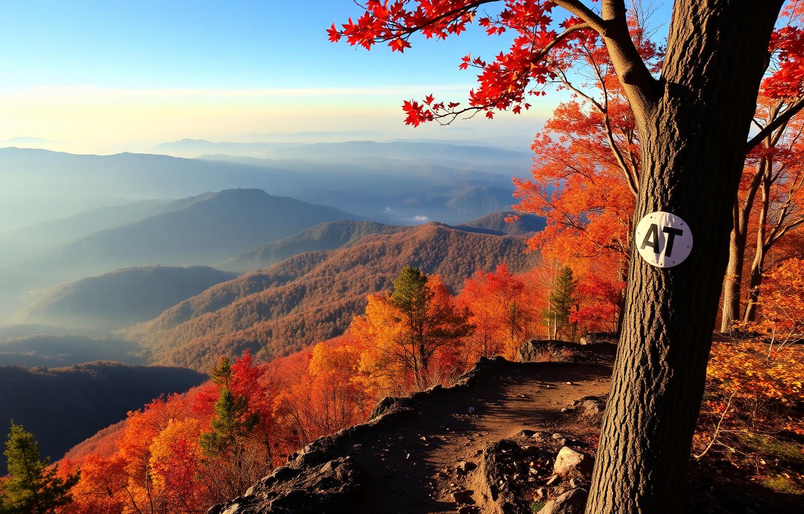
Featured hiking guide
The Appalachian Trail — 2,197 miles of ridgeline, story, and grit.
From Springer Mountain in Georgia to Katahdin in Maine, the AT threads fourteen states, six national parks, and every kind of weather you can pack for. This guide helps you pick a segment near you, plan three real days on the trail, and hike them safely.
Length
2,197 miles
States
14 (GA → ME)
Best seasons
Apr–Jun · Sep–Oct
Difficulty
Easy to Strenuous
Why hikers love it
A trail long enough to lose your old self — and find a better one.
The AT is more than a footpath. It's a network of trail towns that feed you pancakes at 5 AM, shelters that fill with strangers who become family by nightfall, and ridgelines that make you forget every notification you ever received. Section-hikers return year after year to peel off another 40 or 400 miles. Thru-hikers spend six months rewriting what they think they're capable of.
You don't need to hike all of it. A single, well-planned weekend on the right segment will change your relationship with the outdoors — and this guide is built to give you exactly that.
Build your 3-day plan
Pick where you're starting from.
Choose a city near the trail and we'll surface the segments a short drive away, plus a complete 3-day itinerary you can hike this season.
Springer Mountain to Neels Gap
Moderate · ~31.7 mi · Ends in Blairsville, GANotable landmarks: Springer Mtn summit plaque · Long Creek Falls · Blood Mountain summit
Trailhead push from Springer Mountain
9.1–11.6 miTrail highlights
- Warm up your legs with a gradual climb out of Springer Mountain
- Signature stop: Springer Mtn summit plaque
- Camp early — Day 1 sets the tone for hydration and pack fit
Scenic viewpoints
- · Springer Mtn summit plaque
Water sources
Long Creek
Campsite / shelter
Hawk Mountain
Safety
Moderate terrain — pace yourself, no summit fever on day one.
Weather
Afternoon thunderstorms are common Apr–Sep — be off exposed ridges by 2 PM.
Pro tip from GoTravelHiking
Bring an extra pair of dry socks in a zip-lock. Wet feet ruin day two faster than tired legs.
The big day — ridge traverse & signature views
10.6–12.6 miTrail highlights
- Sunrise objective: Long Creek Falls
- Long lunch stop with a real view — earn it
- Roll into camp with 90 minutes of daylight for gear dry-out
Scenic viewpoints
- · Long Creek Falls
Water sources
Justus Creek
Campsite / shelter
Gooch Mountain
Safety
Exposed ridge day — carry a hard shell, know your turn-around time, and have a bailout side-trail marked.
Weather
Ridge temps can drop 15–20°F from the valley. A wind layer is not optional.
Pro tip from GoTravelHiking
Eat every 45 minutes on the ridge. Slow calories in = slow legs out.
Descent into Blairsville, GA
9.6–11.1 miTrail highlights
- Final overlook: Blood Mountain summit
- Trail-town celebration meal in Blairsville, GA
- Shakedown your pack — what did you carry and never touch?
Scenic viewpoints
- · Blood Mountain summit
Water sources
Woods Hole spring
Campsite / shelter
Lodging in Blairsville, GA — see picks below
Safety
Descent injuries outnumber climbing injuries 3-to-1. Trekking poles down, small steps.
Weather
Check the exit forecast the night before — a shuttle in the rain beats a hitchhike in the rain.
Pro tip from GoTravelHiking
Book your Blairsville, GA lodging before you start Day 1 — trail-town beds fill fast on weekends.
Plan it with GoTravelHiking AI
Turn this segment into a fully personalized itinerary — maps, weather, gear, and day-by-day pacing built for your fitness and dates.
Build my personalized itineraryFree hiker's packing list
A field-tested checklist for 3-day AT trips — the ten essentials, layering system, food math, and what to leave at home.
Download the free packing listStay safe on the trail — activate Hiker Safety Check-In.
Share your itinerary, set automated check-ins, and let your emergency contacts know you're moving.
Hiker comments & tips
Share your trail stories, section-hike beta, or questions for other hikers. Newest first.
Be the first to share a tip for this guide.